Citation:
Citation_Information:
Originator: Harrison, J.E.
Originator: Whipple, J.W.
Originator: Lidke, D.J.
Originator: Kayser, H.Z.
Originator: Miller, R.J.
Publication_Date: 2002
Title:
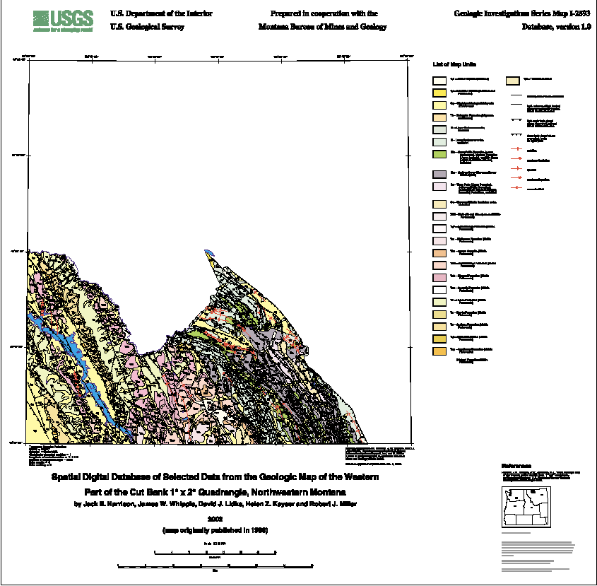
Spatial Digital Database of Selected Data from the Geologic
Map of the Western Part of the Cut Bank 1° x 2° Quadrangle,
Northwestern Montana
Edition: 1.0
Geospatial_Data_Presentation_Form: map
Series_Information:
Series_Name: U.S. Geological Survey Miscellaneous Investigations Map
Issue_Identification: I-2593
Publication_Information:
Publication_Place: Menlo Park, CA
Publisher: U.S. Geological Survey
Online_Linkage: http://pubs.usgs.gov/imap/i2593/
Description:
Abstract:
The paper geologic map of the western part of the Cut Bank 1° x
2° quadrangle, northwestern Montana (Harrison and others, 1998)
was digitized and initially attributed by the Montana Bureau of
Mines and Geology (MBMG) and remitted to the U.S. Geological
Survey for further attribution and publication of the geospatial
digital files. The resulting digital geologic map GIS can be
queried in many ways to produce a variety of geological maps.
Purpose:
This digital geospatial database is one of many being created by
the U.S. Geological Survey (USGS) as an ongoing effort to
provide geologic information in a geographic information system
(GIS) for use in spatial analysis.
Supplemental_Information:
This GIS dataset consists of one major ArcInfo dataset: a line
and polygon file (cb250k) that contains geologic contacts and
structures (lines) and geologic map rock units (polygons).
Time_Period_of_Content:
Time_Period_Information:
Single_Date/Time:
Calendar_Date: 2002
Currentness_Reference: publication date
Status:
Progress: Complete
Maintenance_and_Update_Frequency: None planned
Spatial_Domain:
Bounding_Coordinates:
West_Bounding_Coordinate: -114.00
East_Bounding_Coordinate: -112.50
North_Bounding_Coordinate: 48.50
South_Bounding_Coordinate: 48.00
Keywords:
Theme:
Theme_Keyword_Thesaurus: USGS Thesaurus
Theme_Keyword: geologic maps
Theme_Keyword: geology
Theme_Keyword: geologic structure
Theme_Keyword: bedrock geologic units
Theme_Keyword: geospatial datasets
Theme:
Theme_Keyword_Thesaurus: ISO 19115 Topic Categories
Theme_Keyword: geoscientificInformation
Place:
Place_Keyword_Thesaurus: none
Place_Keyword: Flathead County
Place_Keyword: Glacier County
Place_Keyword: Lake County
Place_Keyword: Pondera County
Place_Keyword: Teton County
Place_Keyword: Montana
Place_Keyword: Pacific Northwest
Place_Keyword: USA
Place:
Place_Keyword_Thesaurus: Augmented FIPS 10-4 and FIPS 6-4
Place_Keyword: f30029 = Flathead
Place_Keyword: f30035 = Glacier
Place_Keyword: f30047 = Lake
Place_Keyword: f30073 = Pondera
Place_Keyword: f30099 = Teton
Access_Constraints: none
Use_Constraints:
This digital database is not meant to be used or displayed at
any scale larger than 1:250,000 (e.g., 1:100,000, 1:24,000).
Any hardcopies utilizing these data sets shall clearly indicate
their source. If the user has modified the data in any way,
they are obligated to describe the types of modifications they
have performed on the hardcopy map. User specifically agrees not
to misrepresent these data sets, nor to imply that changes they
made were approved by the U.S. Geological Survey.
Point_of_Contact:
Contact_Information:
Contact_Person_Primary:
Contact_Person: Pamela D. Derkey
Contact_Organization: U.S. Geological Survey
Contact_Position: geologist
Contact_Address:
Address_Type: mailing and physical address
Address: 904 W. Riverside Ave., Rm. 202
City: Spokane
State_or_Province: Wa
Postal_Code: 99201
Country: USA
Contact_Voice_Telephone: 1-509-368-3114
Contact_Facsimile_Telephone: 1-509-368-3199
Contact_Electronic_Mail_Address: [email protected]
Browse_Graphic:
Browse_Graphic:
Data_Set_Credit:
The Harrison and others (1998) geological map was digitized and
minimally attributed by Ken Sandau (Montana Bureau of Mines and
Geology (MBMG)) who then provided four minimally attributed
ArcInfo interchange-format files to the U.S.G.S.; Robert J.
Miller (USGS) combined the faults coverage into the contact and
rock unit coverage; and Helen Z. Kayser (contractor) attached
and attributed an interim geologic map data model.
Native_Data_Set_Environment:
Microsoft Windows 2000 Version 5.0 (Build 2195) Service Pack 1;
ESRI ArcCatalog 8.1.1.649